Geology of the Copper Coast

A landscape formed by fire and ice
Ordovician Period

Part of a Continental margin

The oldest rocks of the Copper Coast were formed 460 million years ago during the Ordovician period. At this time, the Copper Coast was part of a Continental margin, located under the sea near the South Pole.

As one continental plate slipped under another due to plate tectonics, magma rose from the depths of the earths mantle until it erupted in two separate volcano through the ocean floor where the Copper Coast was located. The first volcano erupted into and through the ocean floor. This created the dark coloured mafic volcanic rocks found along the coast – predominantly Andesite and Basalt. These rocks are part of the Bunmahon formation.

A person stands alone on a rocky beach with tall, rugged cliffs and crashing waves under a cloudy, overcast sky. The scene is viewed from within a dark cave, creating a frame around the coastal landscape. This dramatic setting offers an awe-inspiring glimpse into the fascinating world of geology.

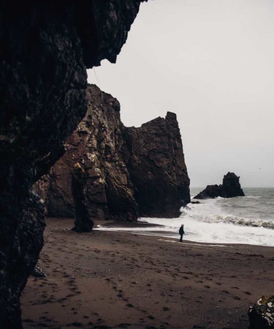
The Sea Became Quiet

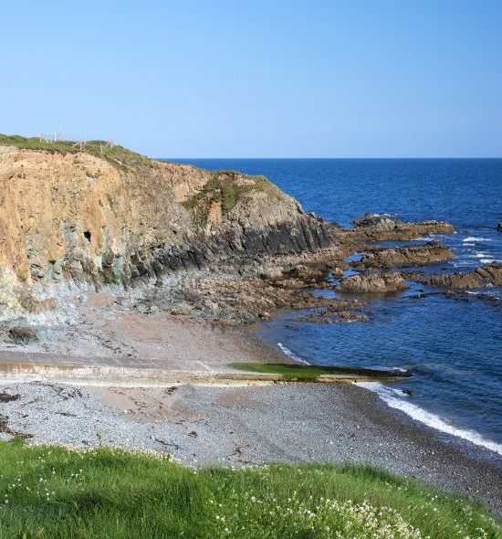
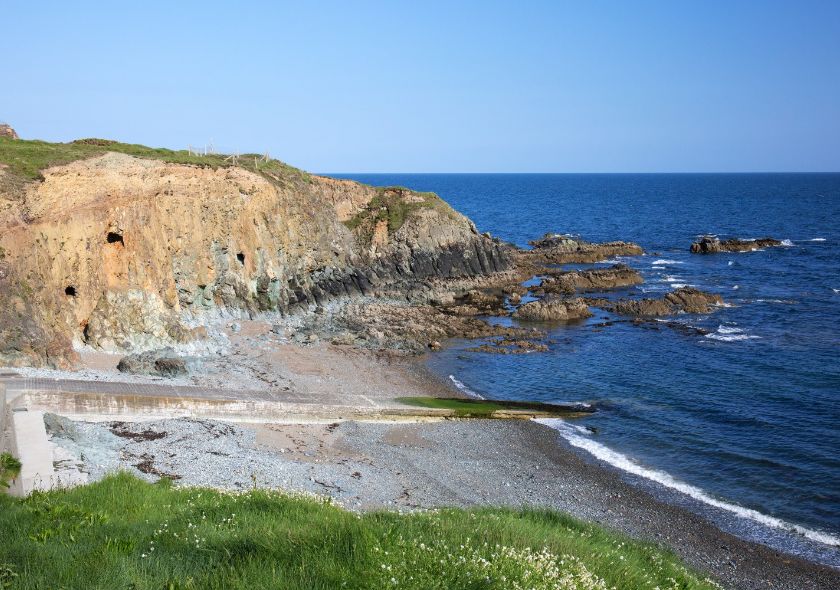
When the first volcano switched off, the sea became quiet again allowing shellfish to develop. During this period the calcareous (calcium rich) mudstones and siltstones were laid down. A unique species of Trilobite is found in these rocks which are part of the Tramore Limestone formation.

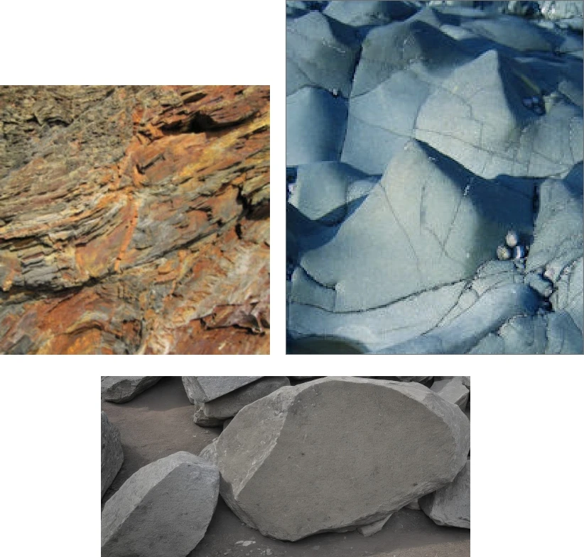
A second volcano, more explosive than the first one erupted around 455 million years ago. The magma from this eruption was more felsic and created the range of rhyolitic and breccia rocks found around the coast. It then switched off and the Copper Coast moved northwards, with its continent, towards the Equator.

The Copper Coast was now on land and during this time (the Devonian period) around 390 million years ago, the Copper Coast was home to a dry desert landscape with occasional flooding. This environment created red sandstones and conglomerates. As tectonic movement continued, these rocks were uplifted during mountain forming processes about 360 million years ago.

About 2 Million Years Ago

The Copper Coast kept on moving as the continental plate of which it is a part moved due to continuing plate tectonics to reach its present day position. About 2 million years ago, ice sheets and glaciers covered the land and while moving slowly, eroded the rocks underneath and shaped the landscape. When they melted at the end of the Ice Age, about 12,000 years ago, the glaciers dumped their load of boulder rich clays, topping the underneath bedrock. This formed the glaical till seen along the tops of the coastlines cliffs.
A collage of three images showcasing Earth's diverse geology. The top-left image reveals layered reddish-brown sedimentary rocks. The top-right displays smooth, bluish metamorphic rocks. The bottom features large, gray, rough-cut boulders, all highlighting the fascinating study of Earth science.
An image showing three pieces of andesite rock. The left side has two distinct andesite samples labeled "Andesite." The right side features a single piece of unpolished andesite with a rough texture, labeled "unpolished Andesite." This exhibit is perfect for Earth science enthusiasts and geology experts alike.
COPPER COAST GEOSITES

Learn about the connected geological, historical and cultural heritage of our area.

A mineral sample featuring vibrant teal-blue crystals and clusters of small crystals on a rough white and beige rock base. In the background, there are smaller fragments of the same mineral. This striking and vivid specimen is a true marvel of geology, perfect for any Earth science enthusiast.

Discover Our Journey Through the Gallery

Join us on an exciting journey as we capture the essence of the Copper Coast through our Instagram feed. 

Follow our adventures as we traverse stunning landscapes and immerse ourselves in the wonders of time and nature. 

Are you ready to travel?

460 Million Years of history and heritage before your eyes.